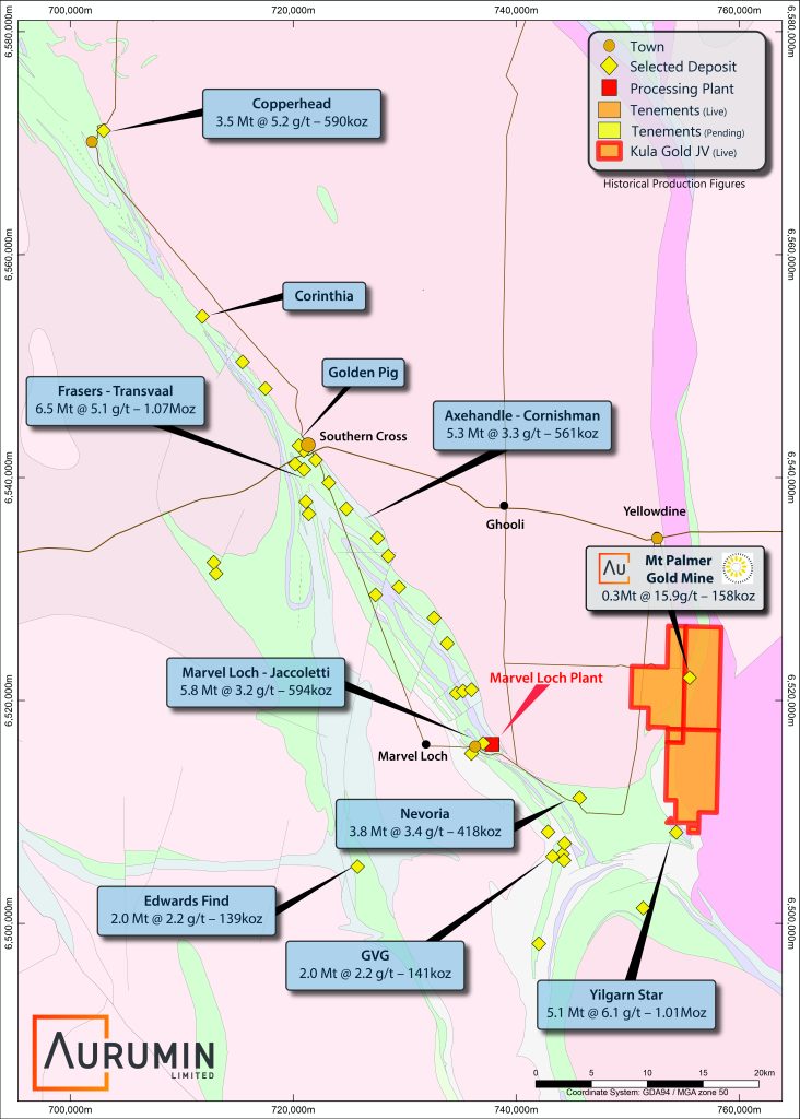
Mt Palmer Project
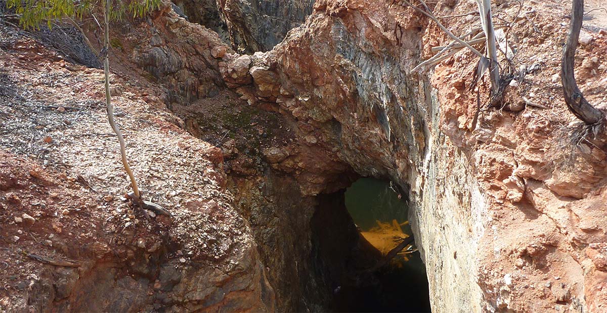
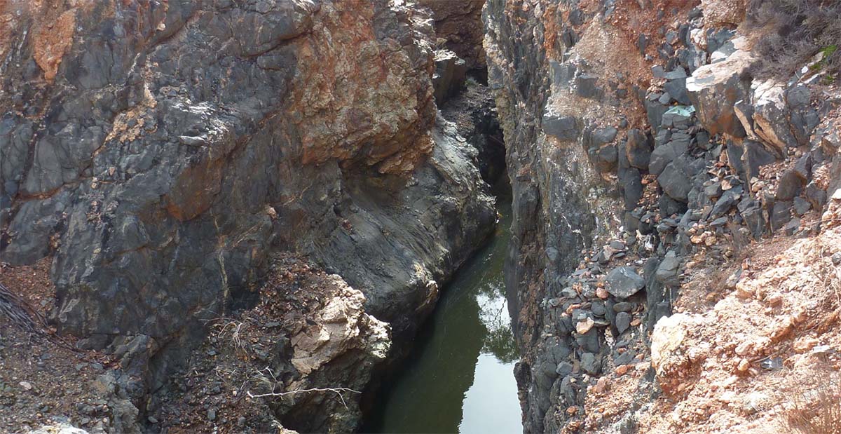
The Mt Palmer Project historically produced via open pit and underground methods, generating approximately 158,000 ounces of gold at an average grade of 15.9g/t.
Aurumin has divested 80% of Mt Palmer to Kula Gold Limited and can elect to dilute to a 1% royalty on all minerals
History and Historical Production
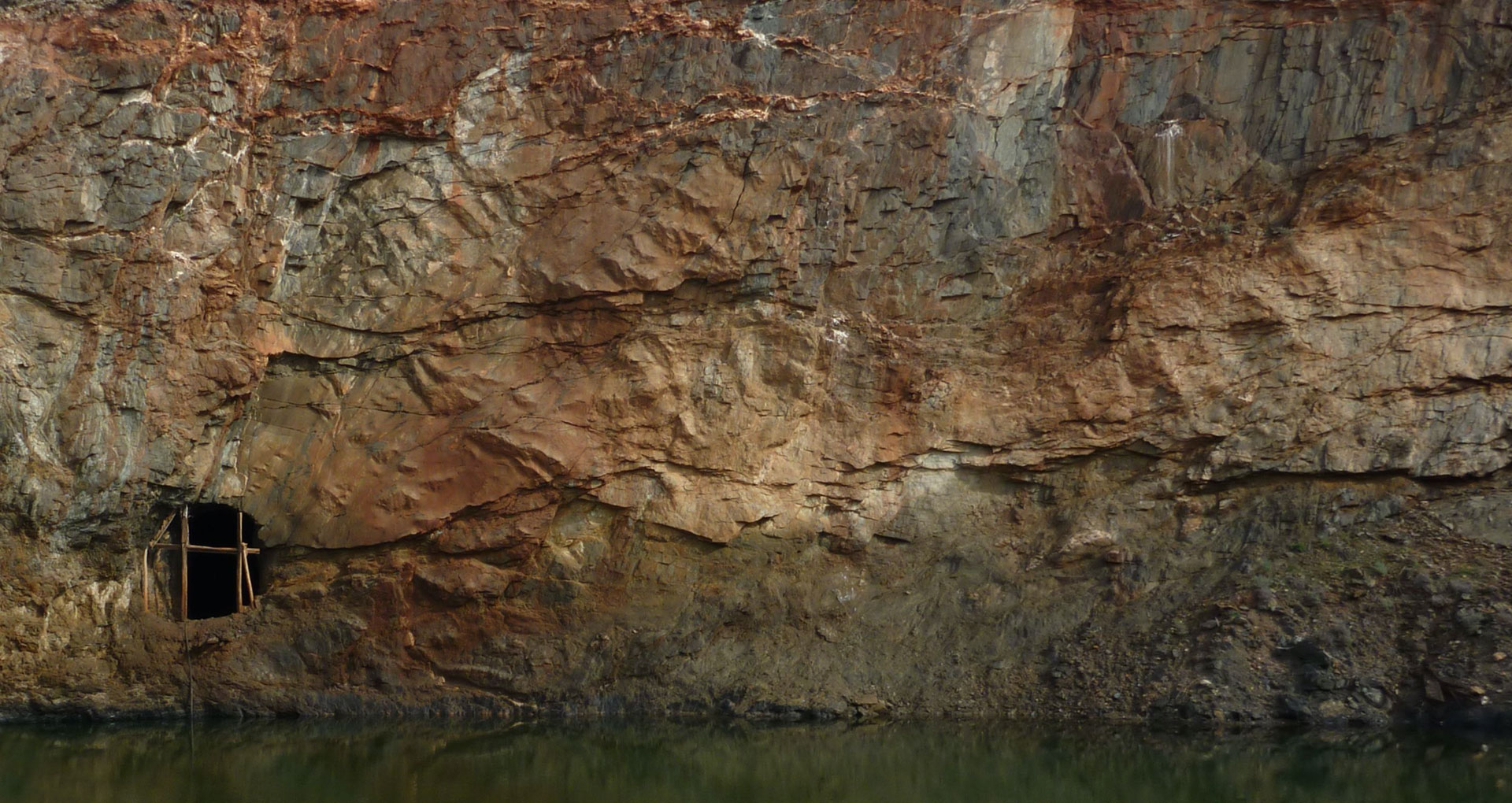
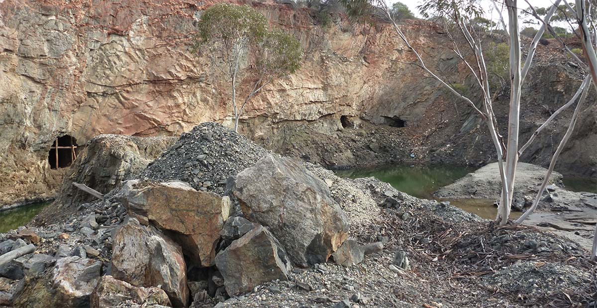
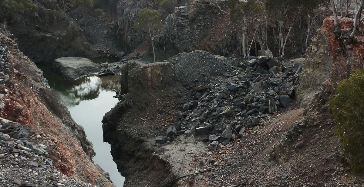
The major historical gold workings at Mt Palmer were mined from 1934 to 1944 and in that time, over 310,000t at an average gold grade of 15.9g/t produced over 158,000oz gold.
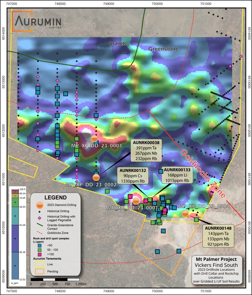
Historical exploration programmes at Mt Palmer were focused on gold mineralisation. The drilling database notes numerous parallel pegmatite intersections of up to 50m thickness that have never been assayed for lithium.
Additionally, Vickers Find South has been identified as prospective for lithium mineralisation based on pegmatites confirmed within a mafic-ultramafic sequence in a geological setting, analogous to the Mt Holland lithium deposit located approximately 65km to the south.
Exploration to date has identified lithium and pathfinder element anomalism from rock chip, soil, and drill spoil sampling programmes. Initial drilling has been completed.
Location and Access
Mt Palmer is located around 15km east of the Marvel Loch townsite in the Shire of Yilgarn, Western Australia.
The project can be accessed from Perth by the Great Eastern Highway to Southern Cross and then by local roads via either Marvel Loch or directly from the Great Eastern Highway at Yellowdine. Within the project, access is via an all-weather gravel road and secondary tracks.
Geology
Mt Palmer is located in the central area of the Southern Cross Greenstone Belt. The Southern Cross Greenstone Belt is a strongly deformed, metamorphosed synformal remnant of a once larger greenstone assemblage. It has been shaped and attenuated by the emplacement of syn-tectonic granitoids include the Ghooli, Parker, and Rankin domes.
The historical gold workings at Mt Palmer are hosted within an amphibolite sequence that extends from the greenstone-granite contact located approximately 400m to the west of the mine and a thin Banded Iron Formation trending north-northeast located 200m east of the mine.
The central project area collectively covers >10km2 of the granite-greenstone contact. Cenozoic deposits cover most of the project area away from this contact in both directions.