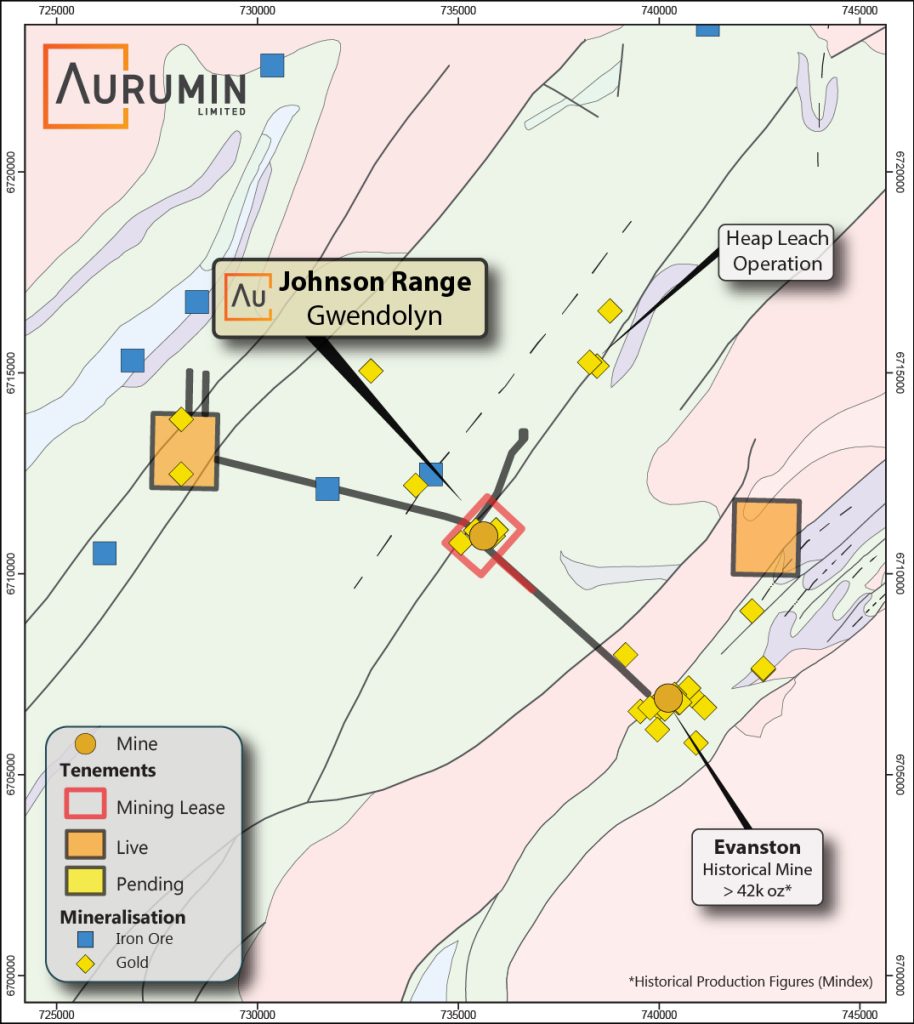
Johnson Range Project
The Johnson Range Project is located approximately midway between Southern Cross and Sandstone in Western Australia. The Johnson Range project consists of 9km2 of granted tenements.
History and Historical Production
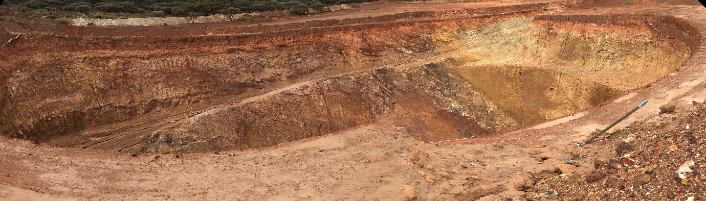
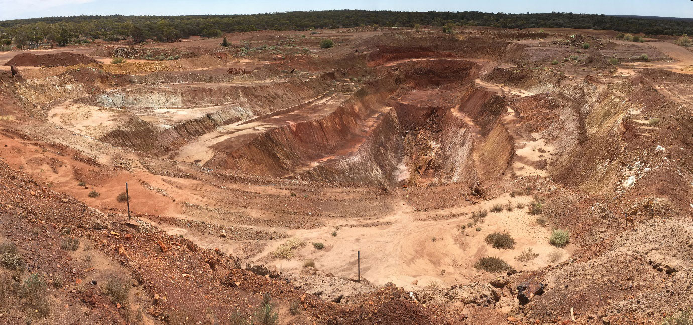
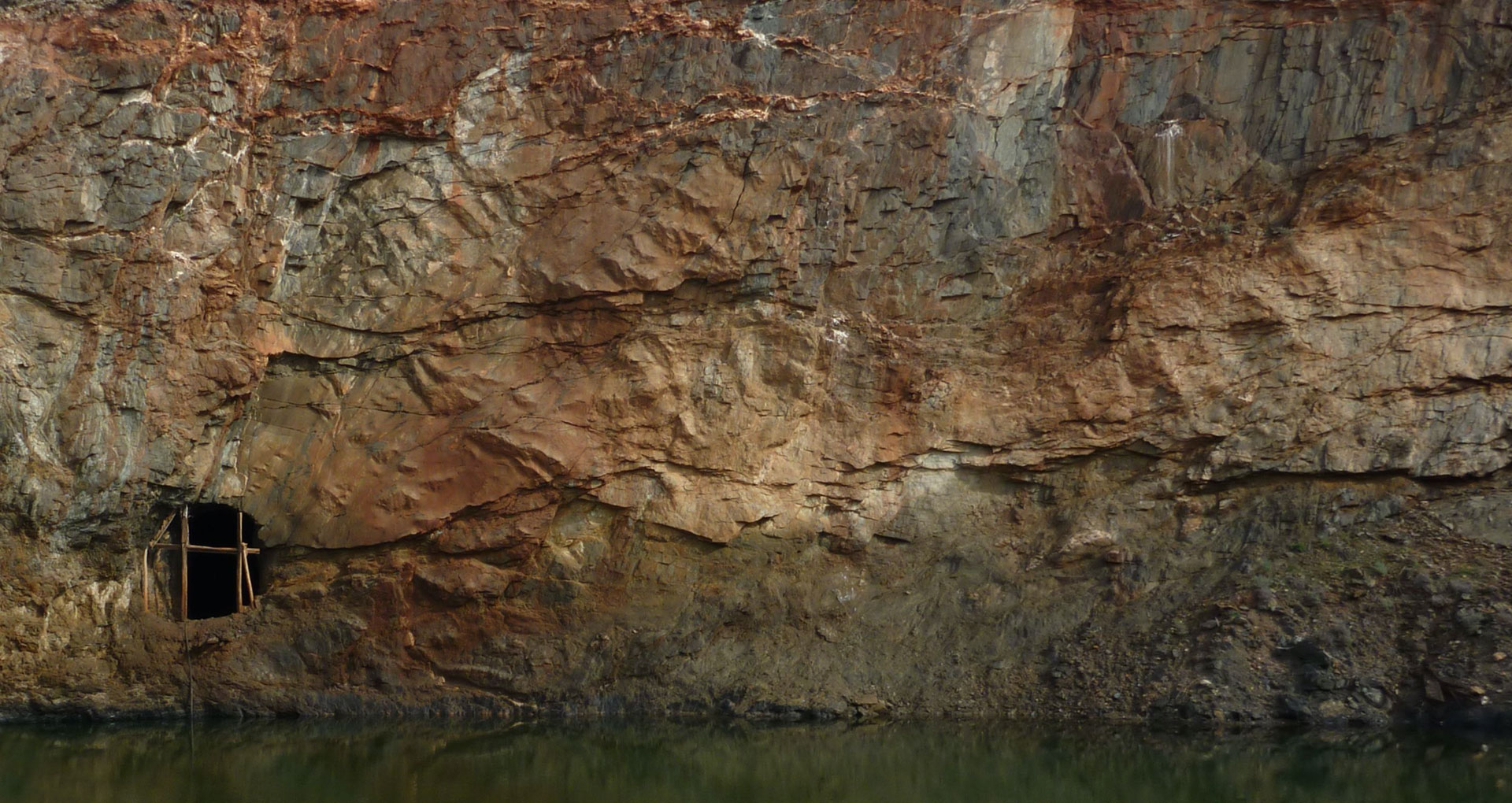
At Johnson Range, gold was discovered by a prospector in the 1930s and a small area was mined underground. The area was explored by Goldfields Exploration PL, St Joe Australia Pty Ltd, Bornite Pty Ltd, and Resolute Resources Ltd in the 1980s and in the 1990s, leading to shallow open pit mining in the early 1990s. The project was acquired by Vector Resources Limited in 2009 who completed further exploration activity and trial mining occurred in 2014 as the Gwendolyn Project.
Johnson Range is located 6km to the northwest of the Ramelius Resources Ltd owned historical Evanston mine.
Location and Access
Johnson Range is accessible from the Great Eastern Hwy, between Merredin and Southern Cross, via Bullfinch and then the Bullfinch – Evanston Road. Final access is via Aurumin owned access roads.
Geology
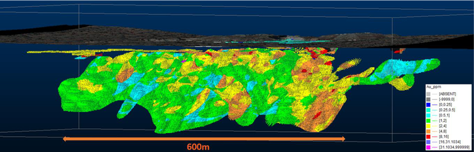
The Gwendolyn gold deposit at Johnson Range is hosted in a moderately North-West dipping Banded Iron Formation (BIF)/Mafic/Ultramafic sequence within the Marda-Diemals Greenstone Belt.
Primary mineralisation is hosted by sheared quartz and breccias with lateritic (<5m depth) and supergene mineralisation also present in the near surface. A significant proportion of the mineralisation is confined within the transitional and oxide zones.
Mineral Resource Estimate
In August 2021, the Company defined a JORC-2012 Mineral Resource estimate for Johnson Range of 803,000 tonnes at 2.51g/t Au for 64,700oz gold. The Johnson Range Mineral Resource has a total strike length of 750m, is 80m wide and extends to approximately 150m depth based on current drilling.
The Mineral Resource has been reported at a cut-off grade of 1.0g/t Au and within 100m of natural ground surface. The Mineral Resource has been classified as Inferred.