Birrigrin Project
History and Historical Production
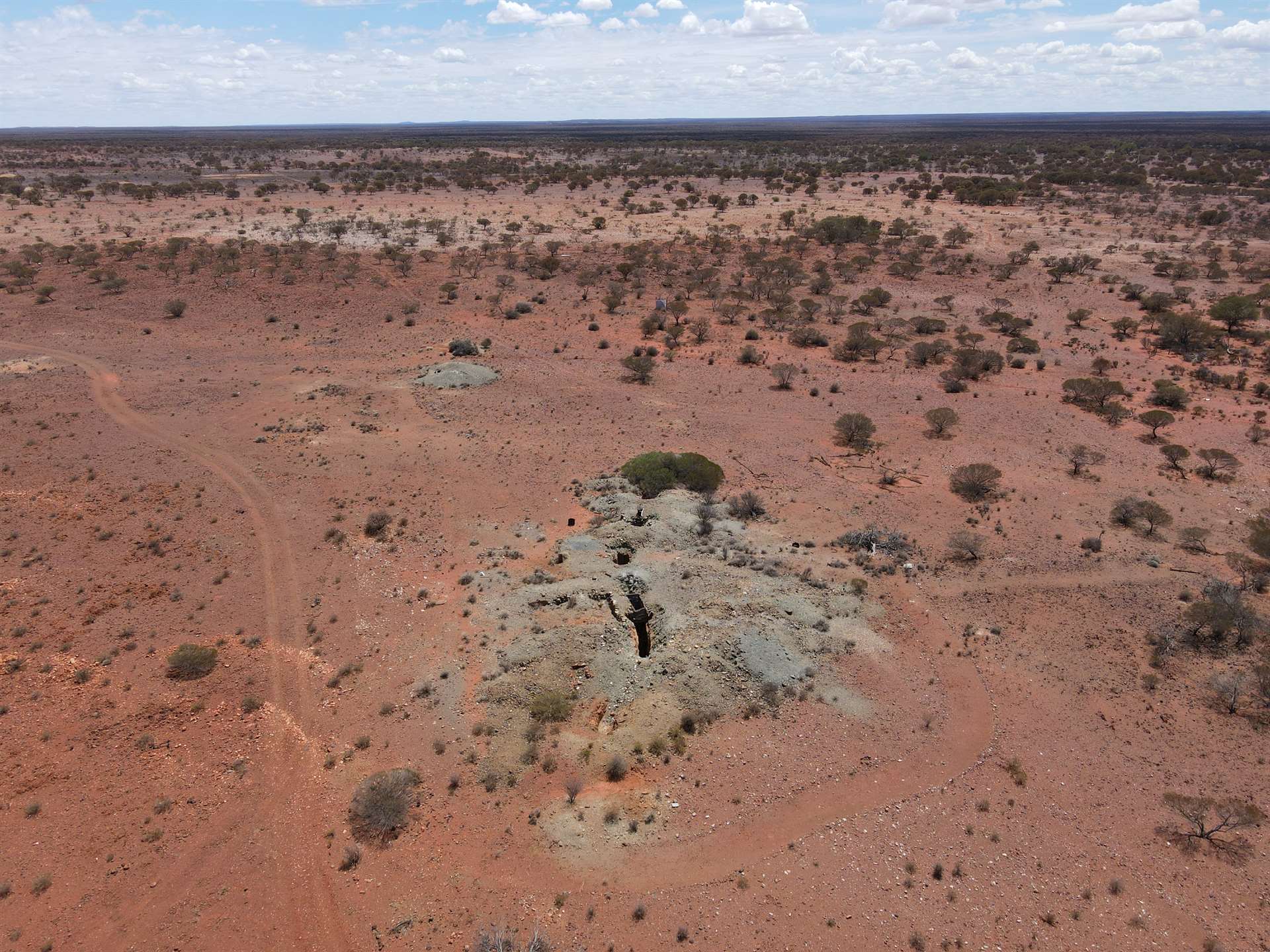
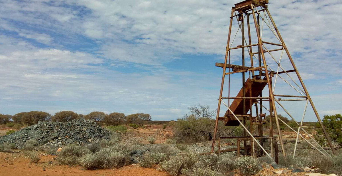
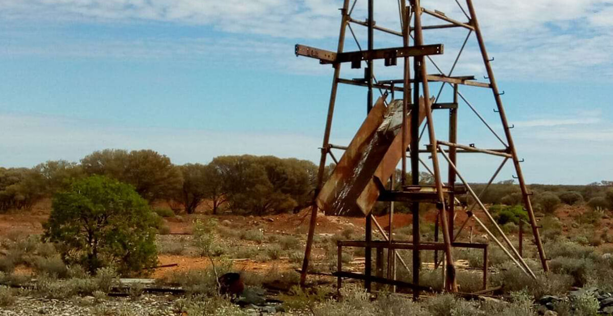
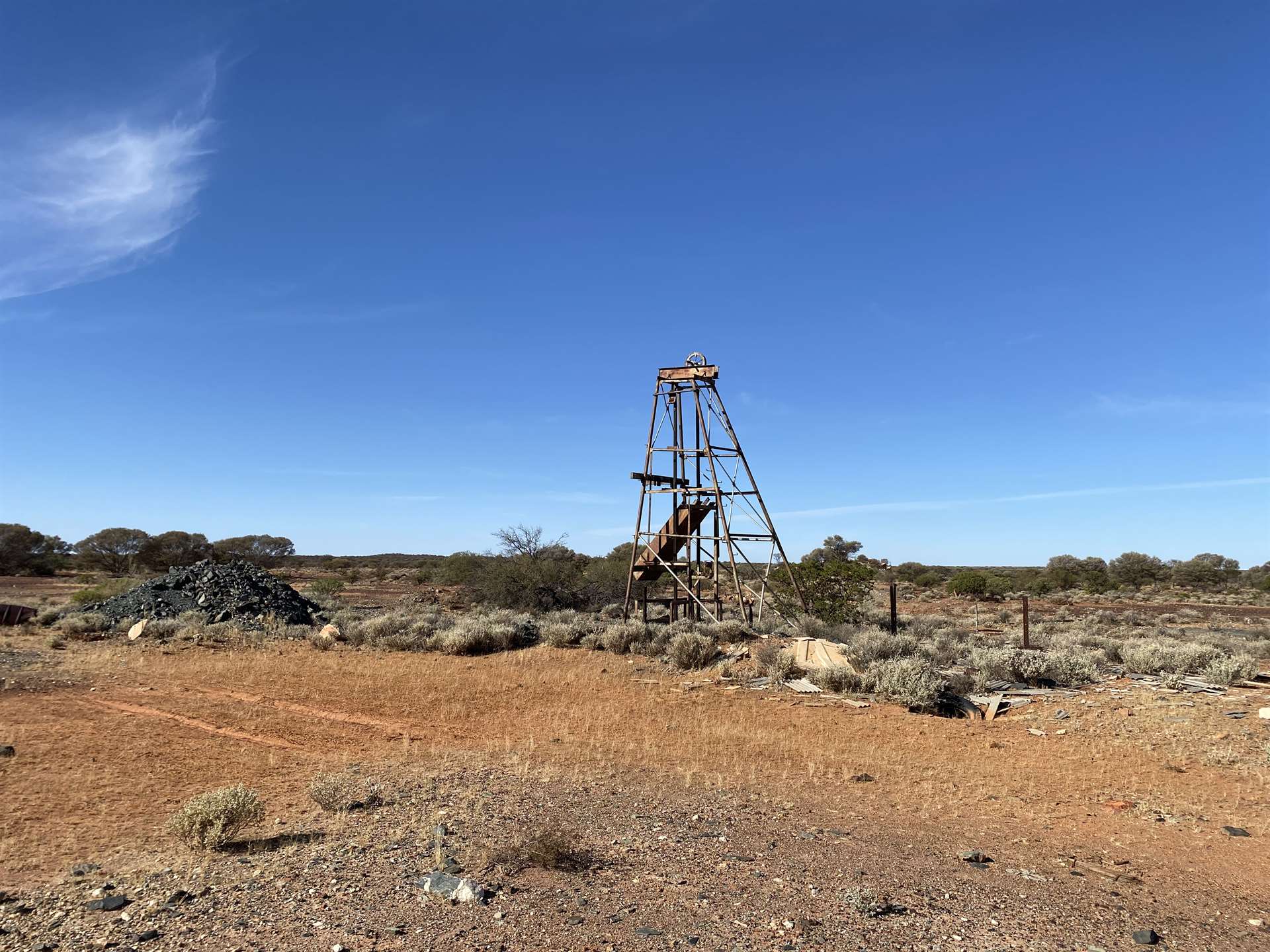
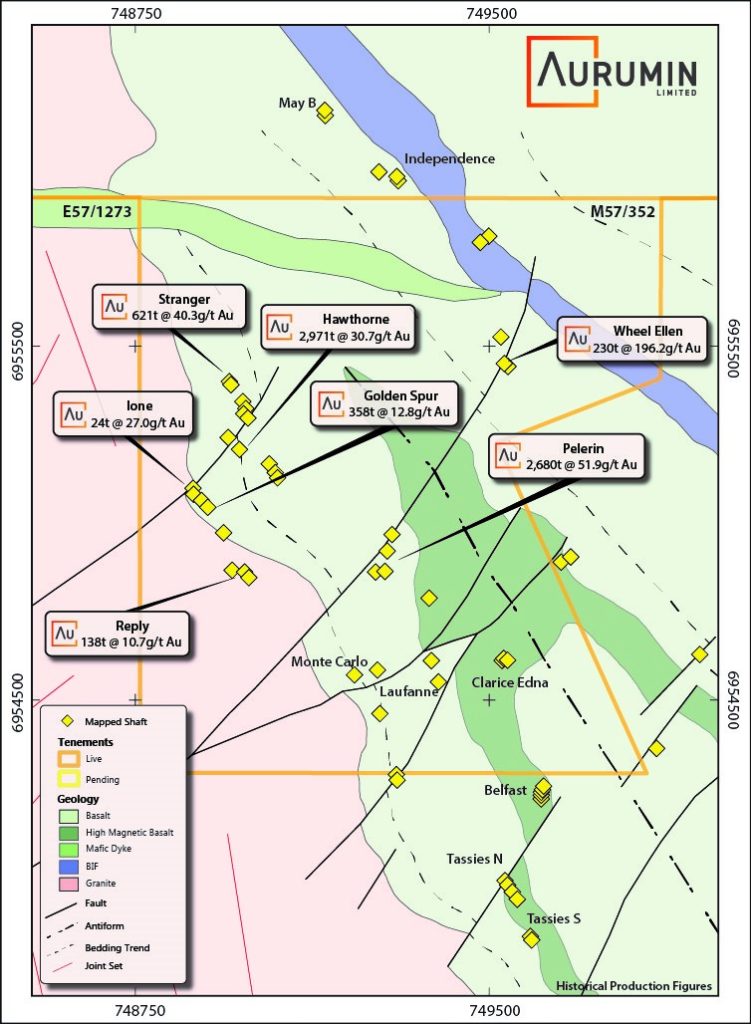
The historical Birrigrin Mining Centre was originally active between 1904 and 1912 and has 39 mapped shafts with underground workings producing at grades up to 196g/t Au.
Geology
Birrigrin is located within southern extremity of the Gum Creek Greenstone sequence, a lensed belt measuring approximately 110km in length and 24km in width. The belt is dominated by volcanic and sedimentary sequences and surrounded by intrusive granitoids with the margins dominated by contact metamorphosed basalts and banded iron formations.
Locally, the dominant geological architecture is a north-west striking steeply east dipping synform, fault bounded by a banded iron formation. Outcrop throughout the tenement varies, with excellent exposures in areas of higher relief, subcrop over much of the Birrigrin Mining Centre and sandplain sediments, alluvium, and colluvium covering geology in many other areas.

Exploration
Little modern exploration has occurred on the tenement with existing surface geochemistry thought to be largely ineffective to date. A 2020 aeromagnetic survey and recent mapping have provided new insight into the geology of the area and multiple untested targets exist.
Additionally, recent prospecting on the tenement has successfully unearthed numerous gold nuggets requiring follow-up work.

